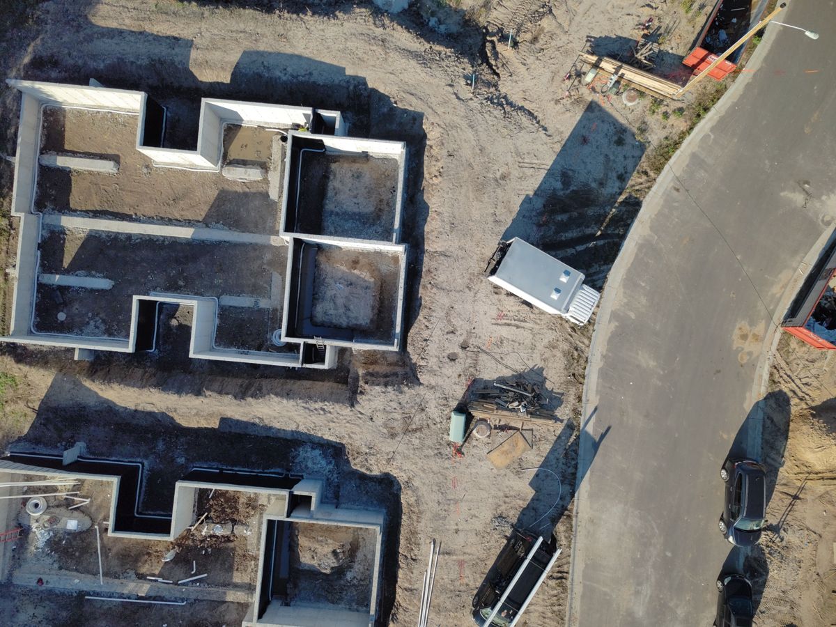
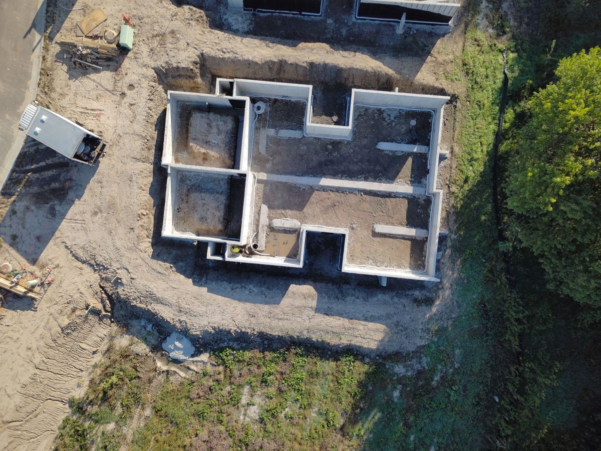
From a recent flight: new homes going in near Maize
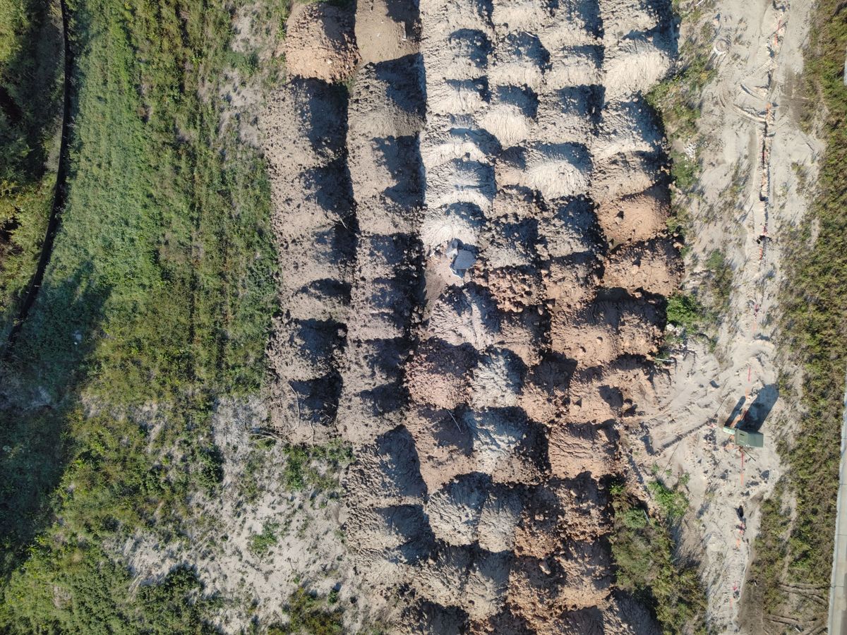
Basements dug and poured, dirt stockpiled and the street in place, all from one flight.
Mapping and 3D models
One flight turns into a detailed overhead map and a 3D model of your site that your whole team can open, spin around and share, from the office or the truck.
Builders, developers, engineers and property owners use site maps to stay on top of what is happening on the ground.
Fly the same site every week or two and see exactly what changed, side by side. Great for owner updates and keeping everyone on the same page.
See every pile, cut and pad from above, and keep track of how the site is moving from one visit to the next.
A complete, dated picture of a property before work starts, when it finishes, or anytime you need to plan the next step.
Basements dug and poured, dirt stockpiled and the street in place, all from one flight.
Send the address and what you want to see. We check the airspace and schedule the flight.
Most sites take one visit, with no need to stop work or close anything off.
Your map, 3D model and photos arrive as a simple link. Files for your engineer or CAD team are included when you need them.
Send the address, what you would like to see, and when you need it. We will get back to you with a price and the first open day to fly.