Same field, two views
An alfalfa field near Abilene. On the left is the regular aerial photo, and it looks healthy. On the right, the crop health map of the same ground shows the stressed areas in red.
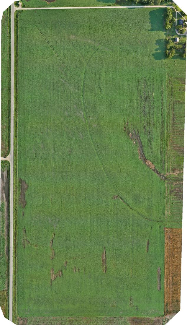
The regular aerial photo
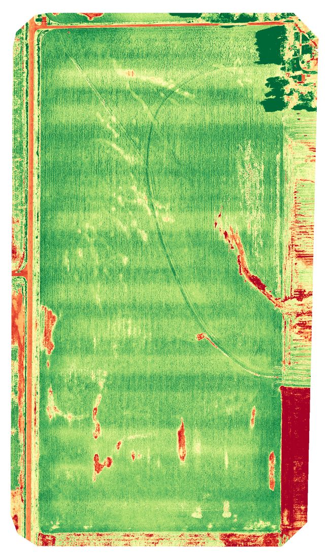
The crop health map
Agriculture
Aerial maps of your fields, bins and farm ground that show where crops are thriving, where they are struggling and where to spend your time.
A flight is worth it when it helps you make a call: where to scout, where to spray, or whether to replant.
Crop health maps point out weak areas weeks before they show up from the road, so you can walk straight to them.
See early-season gaps and thin spots across the whole field and decide on replanting with a clear picture in front of you.
Hail, wind and flood damage photographed and dated across the full field, ready for your insurance conversation.
An alfalfa field near Abilene. On the left is the regular aerial photo, and it looks healthy. On the right, the crop health map of the same ground shows the stressed areas in red.
The regular aerial photo
The crop health map
Bins, buildings and the farmstead itself, captured in 3D so you can see the whole layout from any angle.
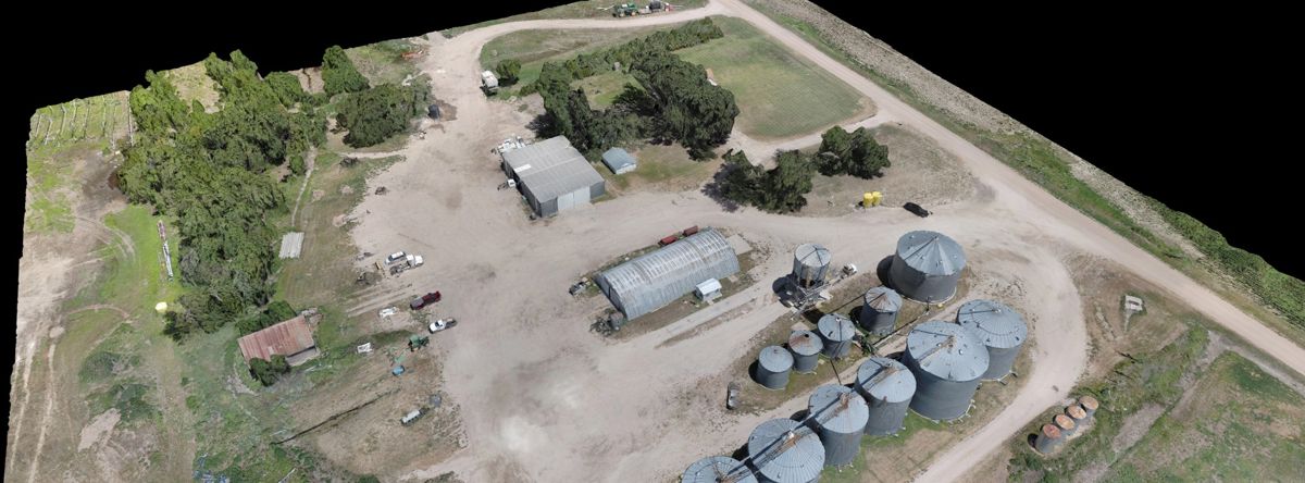
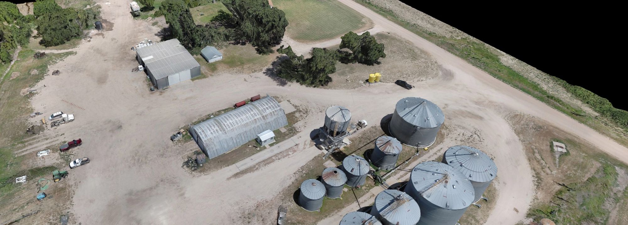
Field maps are processed in PIX4Dfields and arrive as a link, plus files your agronomist or farm software can use.
Send the address, what you would like to see, and when you need it. We will get back to you with a price and the first open day to fly.